T3 vs the Three Peaks Challenge: 24 hours. Two crazy damn fools…
Britain’s Three Peak Challenge is to climb the highest mountain in England, Wales and Scotland, in 24 hours. What could possibly go wrong?
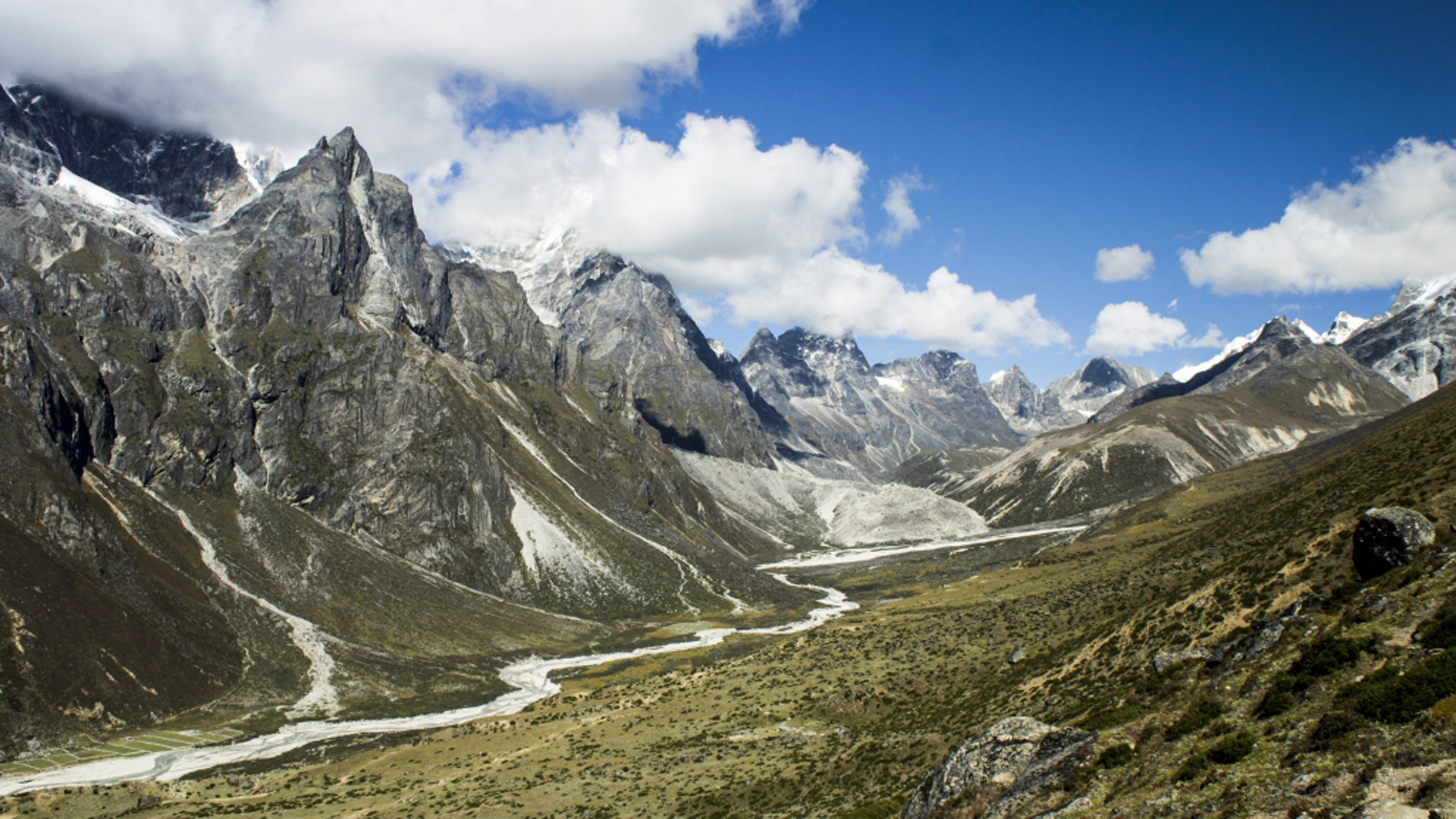
Looking back it doesn’t seem very sensible. But then it didn’t seem very sensible at the time.
The UK's Three Peak challenge – summit the highest mountain in England, Wales and Scotland, and travel between them, within 24 hours – is demanding enough as it is. But my mate Bevo and I were making it a bit tougher (ie idiotic), by doing the driving ourselves too.
Oddly, when we put out an appeal to friends and family for someone to ferry us 765km-plus around the country, through the night, while we snore in the back seat and generally stink the car out, the position remained vacant.
- Damian's list of the best walking boots and shoes
- Everything you need to navigate the 3 Peaks Challenge
The Three Peak Challenge is both popular and unpopular in the UK.
Lots of people attempt it and lots of people criticise it; for its carbon footprint, for encouraging fast driving, for early-morning noise that upsets locals. With so little time on each peak, it doesn’t exactly encourage a deep appreciation of the great outdoors either.
I know the criticisms, but I have to attempt it. I spend plenty of time in Britain’s hills, so this isn't the only way I experience our wilder places. But I suppose I’m one of those ‘because it’s there’ types, too.
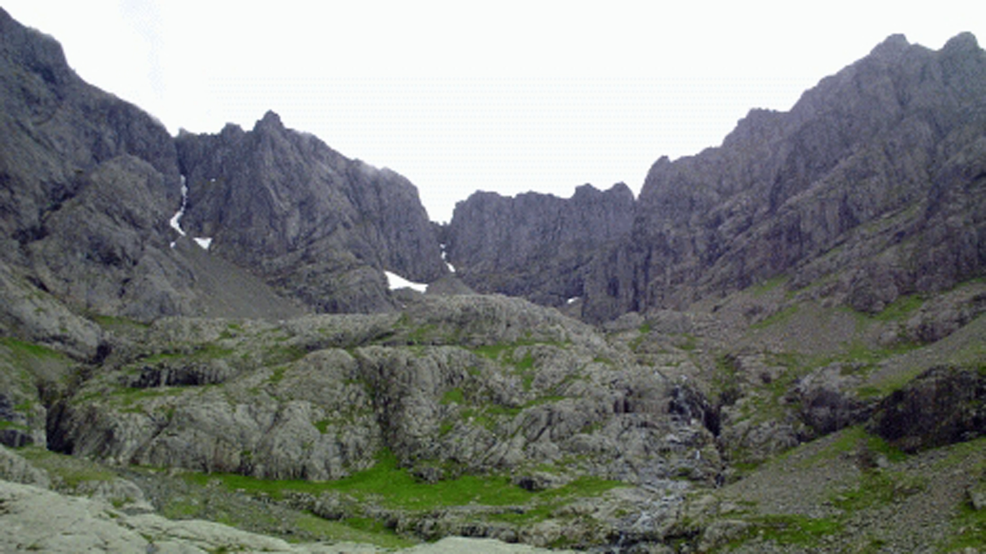
We begin with Scotland's Ben Nevis, the biggest of the lofty hat-trick.
Get all the latest news, reviews, deals and buying guides on gorgeous tech, home and active products from the T3 experts
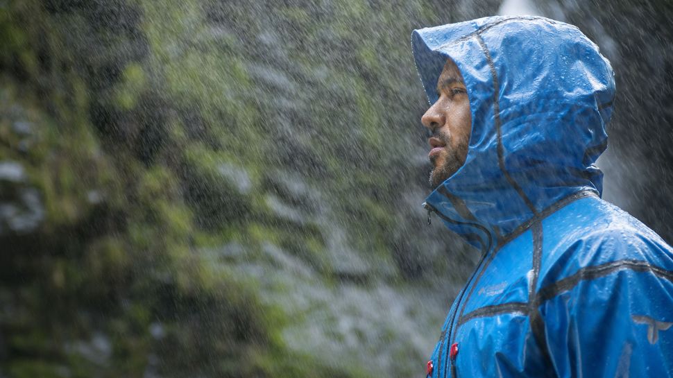
I press start on my Suunto Ambit3 Peak at 6.07am. It’s mid summer, but it’s tipping it down. Big Ben is steep and we’re both soon breathless. All around there’s just one colour: grey clouds and the darker grey of the jagged rocks underfoot. The summit ridge has lethal drop-offs metres from the path. Visibility is 10 metres.
After about two-and-a-half hours, some big cairns and a hut appear through the gloom and we’re at the top. It’s f-f-f-freezing. Back at the car, we’re about 30 minutes ahead of schedule. Little did we know that would be our easiest peak.
The plan is to switch driver every hour, so we both stay as fresh as possible, while the passenger is responsible for keeping the driver awake and mustn’t snooze. All’s going to plan, but then, north of Glasgow… disaster. Traffic slides to a standstill. For the next hour and-a-half we watch out hard-earned time advantage slip agonisingly away, replaced by a deficit… Meanwhile, we listen to my football team lose 2-0 on the radio.
It’s 17.30 when we park up in the Lake District, for Scafell Pike, England’s highest bit of rock. It’s raining, again and everything seems ominous. We’re wet, tired and the terrain looks identical in every direction – just clag and rocks. The path disappears and we follow cairns across a slippery melee of rocks in a half-light twilight zone.
It looks impossible to find our way back in the dark and we try to memorise landmarks – which are all rocks. Scafell is a sneaky, untrustworthy, always seeking to deceive. I pass a bigger cairn, the wind sends me back with a blast and I realise it’s the top. A gawdforsaken place.
We hurry down as light deserts us. I'm grateful of my user-friendly Garmin eTrex Touch 25 as we retrace our route, though the rain has reduced the path to a roaring waterfall, knocking me off my feet.
We arrive at the car, sopping wet, at 21.30. We feel dejected (wet boxer shorts will do that to a man), but we still have a chance.
We're tired. We knock back the worst kind of energy drinks. We swap drivers. We listen to comedy podcasts. We stop for coffee and doughnuts. We swap drivers. Eat jelly beans. We talk. We swap drivers. We feel fatigued. More energy drinks. It’s pretty stupid. Jelly beans. But we make it.
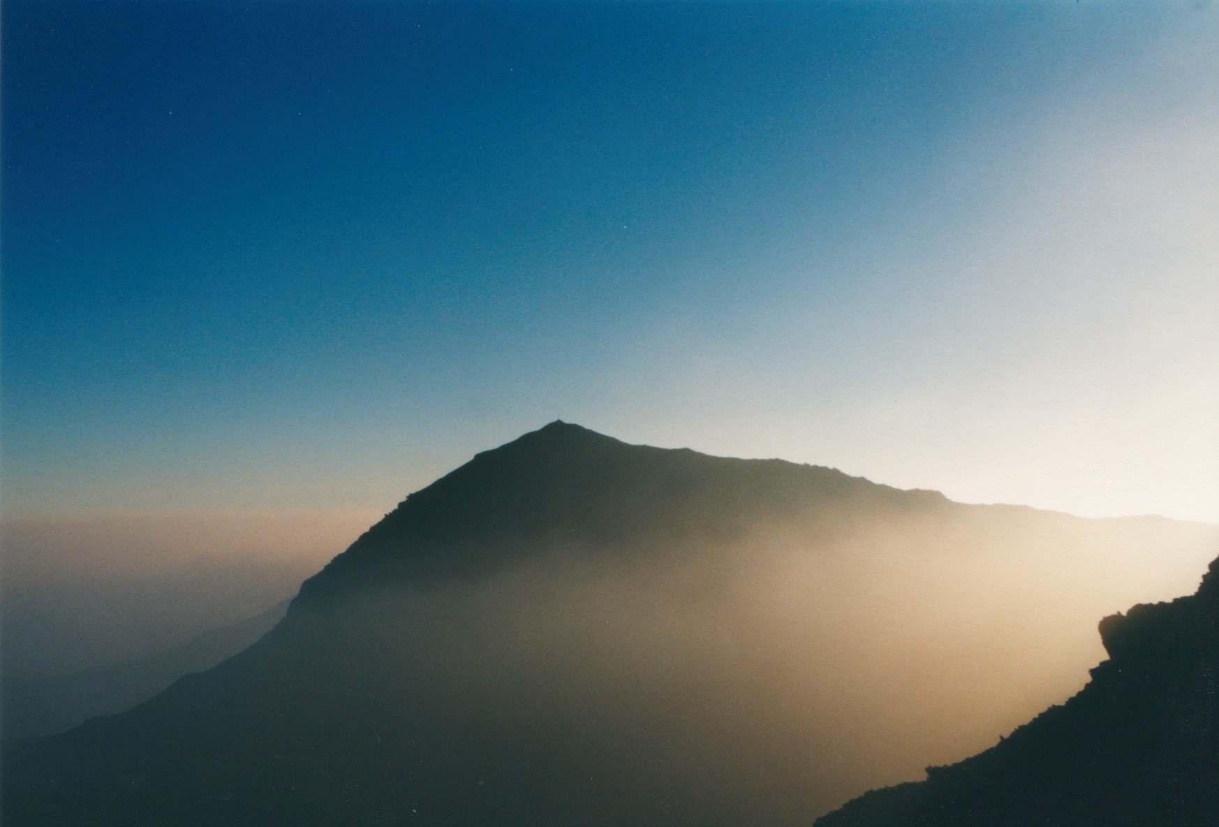
Snowdon, in north Wales, is the smallest and – on paper – easiest of the holy trinity. But it's now properly dark and while my guidebook estimates it’ll take three hours and 45 minutes, we’ve got less time than that.
We mustn't get lost. It's raining. Again.
After 30 minutes, suddenly the Miner's Track vanishes. We retrace our steps and look again. No path. We try again, looking in a wider circle. Time is being haemorrhaged. Bugger it. We gamble and go on up aimlessly.
Purely by chance we find the elusive trail. Up and up we go in the rain and dark. Finally we’re on the summit ridge. There’s none of the triumphalism of the previous two peaks. We’ve less than an hour to get down.
It's getting light. But, wait the trail looks and feels different!? Ken oath! We’ve missed the path. Hope begins to fade. Do we use up 15 minutes getting back on our original route, or gamble that this path goes the right way? Maybe it’s the Pyg Track? Maybe it isn’t? We gamble, again.
We scurry downhill, leaping rock to rock. A walking pole breaks. My calves scream “cramp!” I can see the car park at Pen-y-Pass. We’ve got 25 minutes left. It looks at least 35 minutes away.
I think of the look of sympathy, melting into barely concealed contempt in people’s eyes when I get back them and tell them we “almost” completed the Challenge. We could always come back and try again (with a driver – I’d pay). But I really don’t want to. I’m NOT coming back. We run.
I’m no longer listening to my body’s whingeing. It's light as we run into the car park. I daren’t look at my watch. But… We’ve made it. By less than 10 minutes.
Another 10 minutes later, and we’re both fast asleep in the car. In the morning, it stinks.
The Three Peaks: essential reading
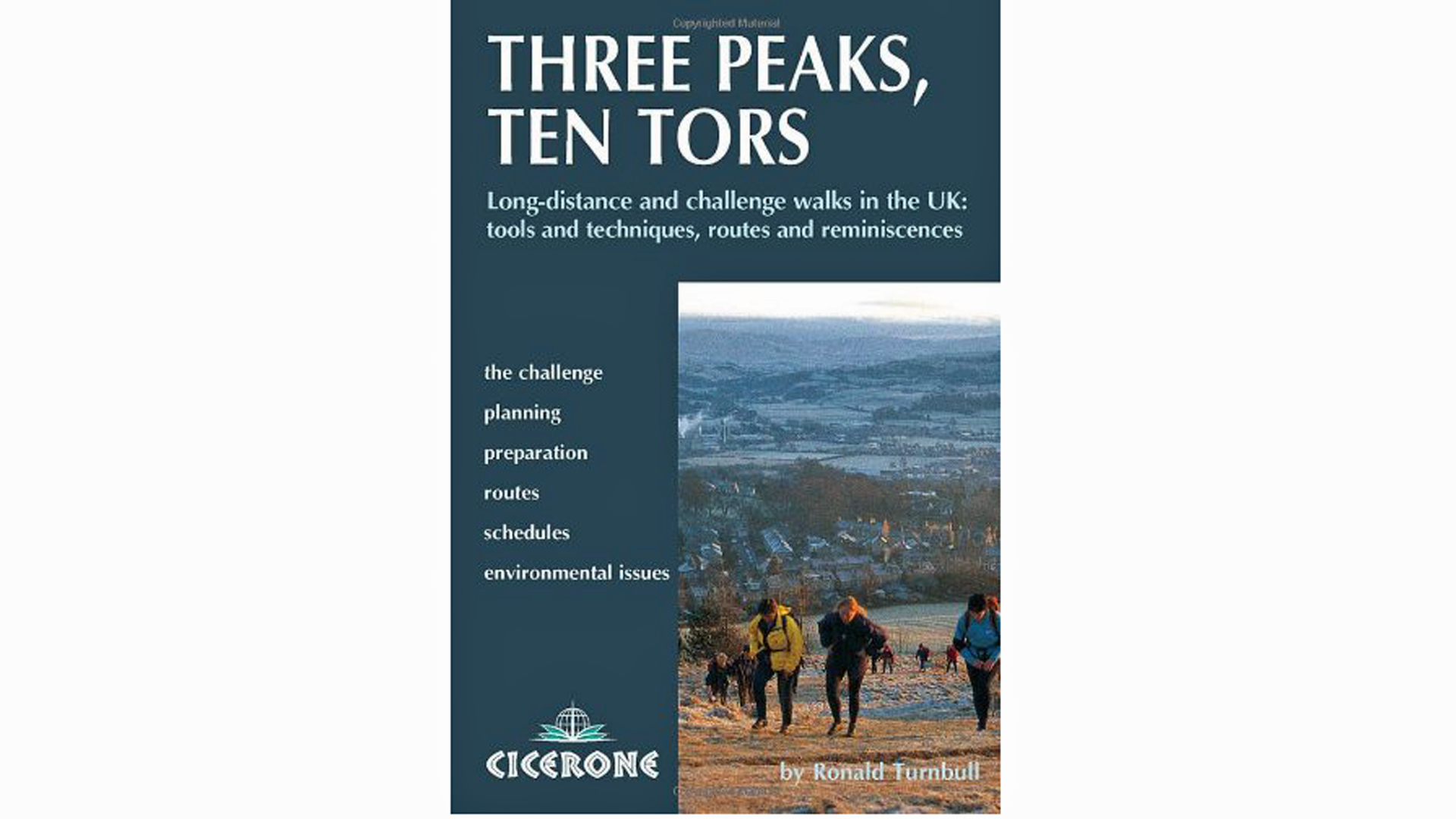
Ronald Turnball’s Three Peaks, Ten Tors, published by Cicerone, is an excellent guidebook for the challenge.
For National Three Peaks guided help, try Lake District-based Mountain Run.
When should I do a Three Peaks Challenge?
The best time of year to do a Three Peaks challenge is when it’s not too hot or too cold. Easier said than done in the Britain. But towards the back end of the summer or during spring are good times.
Of course the summer holidays will mean more expensive accommodation. But since most groups aim to do all three while only sleeping in the car this won't necessarily be an issue.
Another factor is how busy you mind it being, the ideal times will have more climbers, which is a good thing for some who enjoy safety in numbers.
However, if you’re more of a lone wolf then colder time are better, although snow at the top can make the challenge more challenging.
What should I wear?
Since the car is likely to be where you’ll be doing your resting, if you have access to a large and comfy vehicle with a dedicated driver, who won’t be climbing with you, then you’re off to a great start.
Perhaps a little blow-up travel neck support could also be a winner so you nap between mountains. Then it’s time to climb.
Layers are key, so you can strip off if you’re too hot or add more if you get cold as you climb higher.
Technical layers are ideal since they can wick away moisture to keep you dry and avoid chafing. The more advanced kit keeps you at a good temperature, insulating you to the cold while breathing enough to keep you from overheating.
Ideally you’ll have a base layer top and leggings, walking socks, a fleece for warmth and an outer shell for rain, water resistant walking trousers and, of course, a decent pair of walking boots with ankle support and water resistance. Some may also opt for walking poles to help take all the pressure off the feet.
Perhaps take sun cream and a hat if it’s going to be hot. Spare socks in the car are also ideal in case yours get wet.
Do I need GPS?
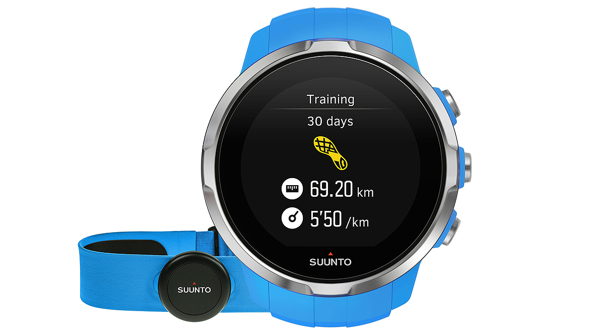
The Three Peaks routes are pretty clear, but there are still reasons to bring this type of tech.
If you’re just aiming to record your steps for posterity, a decent activity tracker with barometer for tracking distance climbed would be adequate – something like a Garmin Vivosmart 3, or even just your phone.
We’d recommend something a bit more accurate with GPS tracking, however. Because of battery life issues, probably not a smartwatch, however.
Our favourites for more rugged navigation are the Garmin Fenix range and Suunto's Ambit3 Peak.
For accurate distance measurement a Garmin Fenix 5 is fine, but the even-pricier Fenix 5X is better as it offers maps, so can be used for navigation as well.
Battery life on the Fenix watches is great too – charge before heading off and they should last the entire 24 hours, although a battery pack could be useful for total peace of mind.
The TomTom Adventurer is a more affordable option, offering GPS and trackback routing to help you find your path back down. Its compass could also prove useful with a physical map – you know, one made of paper – on your way up.
But seriously, you should not need a map. Getting lost will be the least of your worries…
- Here's all the rest of the kit you need
- Lead image courtesy of Primus
- Ben Nevis image By Munrogue (Own work) [CC BY-SA 3.0 (http://creativecommons.org/licenses/by-sa/3.0)], via Wikimedia Commons
- Snowdon at dawn image by By Sebholland (Own work) [CC BY-SA 3.0 (http://creativecommons.org/licenses/by-sa/3.0) or GFDL (http://www.gnu.org/copyleft/fdl.html)], via Wikimedia Commons