This affordable piece of outdoor tech has changed my walks forever – I love it
Love getting out and about in the great outdoors? Then you need this in your life


Get all the latest news, reviews, deals and buying guides on gorgeous tech, home and active products from the T3 experts
You are now subscribed
Your newsletter sign-up was successful
I love a spontaneous Sunday stroll, especially in the autumn; the sun is shining, the air feels cooler and the landscapes are submerged with a new palette of warm, spicy colours. Being based in the Cotswolds, I'm fortunate to have an abundance of beautiful walks right on my doorstep. However, recently I was introduced to a new piece of outdoor tech and it’s safe to say it's changed my walks for the better.
This tech I speak of is an app called AllTrails and if you haven’t heard of it, but enjoy spending time in the great outdoors, then it’s one that needs to be on your radar. It shows you all the different trails available in your local area for your outdoor adventures – from walking to cycling, hiking, running and even fishing. In my area alone it says there’s over 500 routes, all you do is pop in your location and up they come! But this is just the start of the good stuff.

When you click on a trail you’re presented with an abundance of information, from how long it will take you to complete to whether it’s an easy, moderate or challenging route. It even shows you the directions to the trail itself and each one has reviews and pictures left by people who have also completed it.
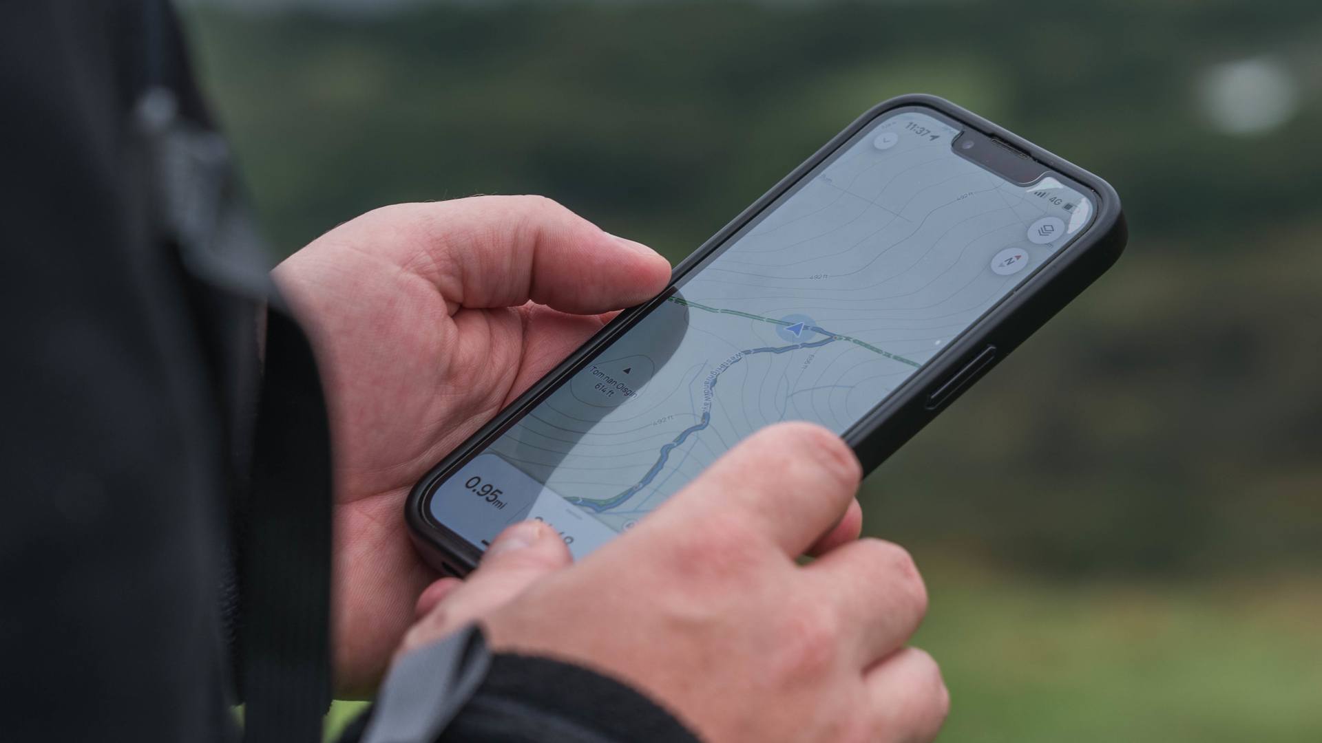
But the real star of the show, for me, is the fact that the app navigates the trail for you, just like Google maps, so you know exactly where you're going, how long you've got left and how far you've walked. Plus, if you go off trail your phone will start buzzing and let you know. (This would have been a godsend when I got lost up Pen y Fan a few years ago.) Garmin users can also connect to the app. Sadly, this isn't available for Apple Watch users, although AllTrails have said it's in the pipeline.
I recently put the app to the test during a trip to Loch Lomond in Scotland with AllTrails, where we climbed the mountain, Beinn Dubh. Although a rather windy and wild experience (one I'll never forget in fact), the app kept us on trail for the entire three hours, getting us safely up and back down the mountain. That's not to say you should bet your life on the app, as you should always take an actual map and compass for more challenging routes, as well as being equipped with the right hiking essentials, such as a good pair of walking boots, a waterproof coat, a head torch and a hiking water bottle.
A post shared by Bryony Firth-Bernard 🤍 (@bryonyfb)
A photo posted by on
The app itself is free to use or you can pay £35.99 for the year to use the AllTrails+ version, which works out at just under three pounds per month. The main difference is that AllTrails+ lets you download the maps, so that you can still navigate your route even offline. All the routes are checked and developed by AllTrails' in-house data integrity team. But, like I mentioned earlier, you should always be equipped with a hand map and compass so you're prepared for the worst case scenario.
Either way, for me, it's been a game changer and I now have about 50 walks saved that I know I'm not going to be able to fit in before the end of the year (although here's to trying). I've even discovered a new trail only 20 minutes away that's now become one of my new favourite walks to do during my lunch breaks while working from home. I wouldn't usually associate the outdoors with apps, but this is a match made in heaven.
Get all the latest news, reviews, deals and buying guides on gorgeous tech, home and active products from the T3 experts

Bryony’s T3’s official ‘gym-bunny’ and Active Staff Writer, covering all things fitness. She is a certified personal trainer and also a part-time fitness instructor. In her spare time, you will find her in her natural habitat - the gym - where her style of training is a hybrid of bodybuilding and powerlifting. Bryony loves writing about accessible workouts, nutrition and testing innovative fitness products that help you reach your fitness goals and take your training to the next level.