Android Automotive is the future I want, but its Google Maps app has a long way to go
When it comes to driving an electric car, Google Maps isn’t up to scratch. Yet.


Ever since it first arrived on the Polestar 2, I have sung the praises of Android Automotive.
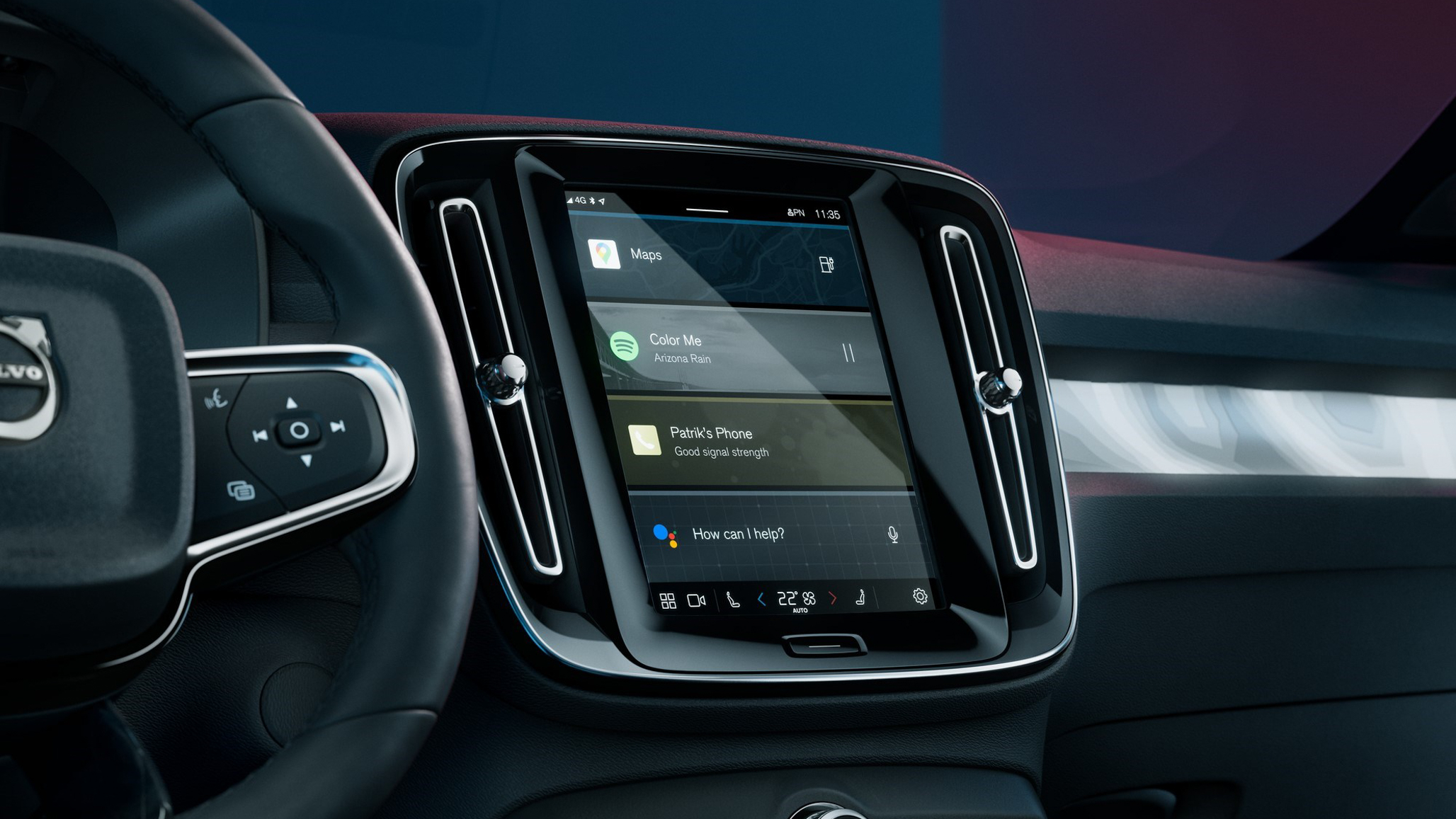
By doing away with the mostly inferior infotainment systems produced by car manufacturers themselves, here is a system built by Google that brings native support for Google Maps, Google Assistant and Spotify, right into the dashboard. No smartphone required.
But, while I have no doubt that the future is bright for Android Automotive (not to be confused with the smartphone-powered Android Auto), I have recently discovered how its Google Maps app still has a long way to go. Especially when it comes to driving an electric car.
I had borrowed a Volvo C40 to drive from London to Cornwall and back, and almost immediately it was clear that Google Maps isn’t as good as some manufacturer-made mapping apps, especially the gold standard that is Tesla’s navigation system.
First up, is the system’s estimate of how much range the car has remaining. The Volvo (and its closely-related sibling, the Polestar 2) doesn’t show how many miles the battery has left by default. Instead, you’re shown a percentage, which is only helpful if you know what the maximum range of the car actually is.
To find out the figure, simply ask Google Assistant by saying: “Hey Google, what is my range?”. This gave a figure of 205 miles with the battery at 80-percent. However, once I had created a journey in the Google Maps app, which is plumbed into the car and claims to know its remaining range, I was told I’d have just two-percent left at the end of a 167-mile journey. So which is correct?

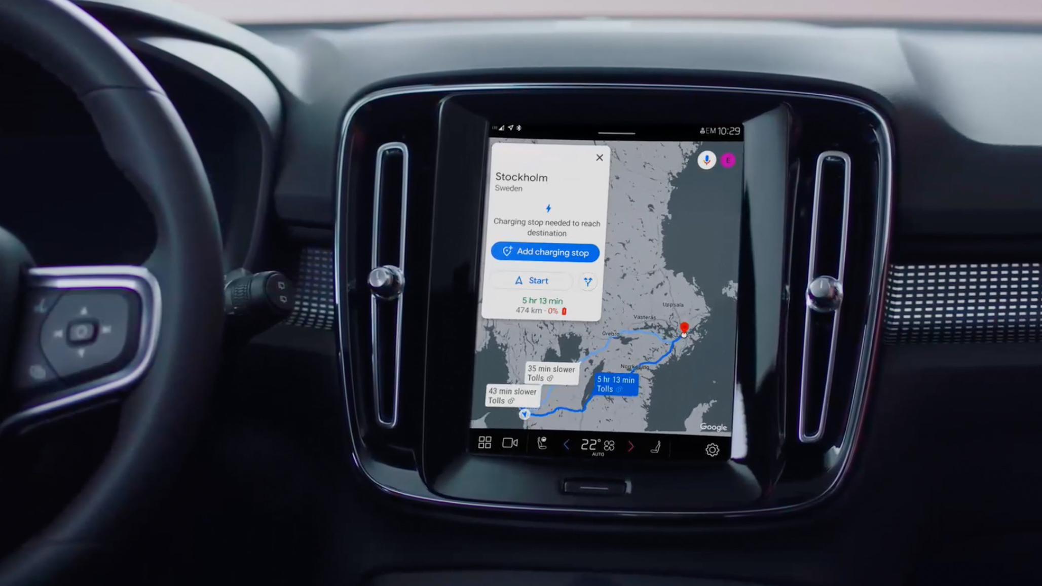
After picking a route offered by Google Maps, it isn’t then possible to add a preferred charging stop. Instead, the app only suggested stopping at a charger that was just a couple of minutes into my journey, instead of one that was more conveniently located.
Get all the latest news, reviews, deals and buying guides on gorgeous tech, home and active products from the T3 experts
When entering another destination (for a rapid charger I had found on my phone), Google Maps then followed its usual preference for the fastest route. This was 20 miles further than another option, yet saved just one minute and meant I would ‘arrive’ with -11-percent battery. So I’d have to stop. Why doesn’t the app recognise this, and then prioritise a route that either includes a rapid charger, or ends with some charge remaining?
It feels like the app is plotting routes from an internal combustion mindset, not one that is conducive to an efficient EV journey. Being unable to simply enter a destination, pick one of Google’s offered routes, and then modify it to include a conveniently-located charger is a real pain, and means you have to do your research separately, then create a route by linking several charger locations together.
I had hoped that digging into the app’s settings menu would help. But instead, this only has the simple options anyone who uses Google Maps on their phone will be familiar with: avoiding motorways, toll roads and ferries. Nothing about prioritising rapid chargers, and frustratingly there’s no way to tell the system you’d like to arrive with a certain battery percentage remaining. This could be useful when visiting friends who live remotely and have no charger of their own.
Once up and running (and directing me to a rapid charger I’d looked up on my phone), Google Maps in Android Automotive works just as it does on your phone or when using Android Auto. It’s one of the best navigation systems, with clear instructions and a great user interface. It’s just such a shame that route creation isn’t (yet) optimised for electric cars and their charging demands. Not being able to list nearby chargers by speed or quantity is also frustrating.

I also found issues with Google Assistant, which at one point was no longer able to tell me the car’s range, and instead tried to find local businesses with ‘range’ in their name. This issue fixed itself later in the journey.
The problems I’ve addressed so far are simple enough, and should surely be fixed by Google soon. Looking further ahead, I’d like mapping apps to be much smarter when it comes to charger data. Instead of just showing the location and theoretical maximum speed of a charger, I want to see how many are available at that moment, and also what the charge percentage is of each user. That way, if a station has no free chargers I can still decide to go there, knowing that, say three of the five cars plugged in are at more than 80-percent, so won’t be there much longer.
The app should also remind drivers of the maximum charge speed of their car. That way, drivers will know that any rapid charger of 150kW or above (up to the fastest 350kW options) will fill their car at 100kW or 150kW, if that's the vehicle's limit.
Charger companies also need to share real-time data with mapping apps when it comes to charger functionality. I arrived at an Ionity station in need of a short, rapid charge, plugged into the only available charger, and then discovered it was faulty, so would only operate at 10-percent of its maximum speed (about 30kW, about a quarter of what the Volvo could handle).
As the ban on internal combustion car sales looms, the public charging network still has a long way to go. And, as I discovered on this journey, so too do navigation applications and infotainment systems. So while Android Automotive shows the most potential (along with the huge update Apple has planned for CarPlay over the next couple of years), there’s still a lot more work to be done.
Alistair is a freelance automotive and technology journalist. He has bylines on esteemed sites such as the BBC, Forbes, TechRadar, and of best of all, T3, where he covers topics ranging from classic cars and men's lifestyle, to smart home technology, phones, electric cars, autonomy, Swiss watches, and much more besides. He is an experienced journalist, writing news, features, interviews and product reviews. If that didn't make him busy enough, he is also the co-host of the AutoChat podcast.
