Garmin GPSMAP 66i review: sat nav communication in one complicated box of tricks
Those serious about adventure will love the GPSMAP 66i’s features, but it’s likely overkill for everyone else
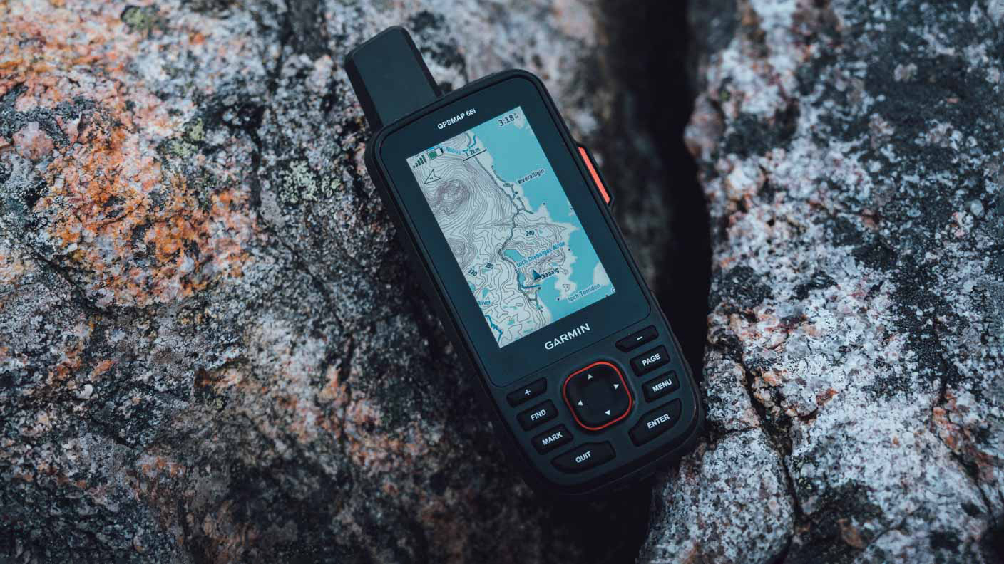
This GPS navigation and satellite communication divide arguably does the job of two devices in one. It packs photo-realistic maps, making exploration that bit easier, while inReach makes messaging simple when completely off-grid. But the unit is relatively bulky, navigating its features can be very complex, and subscription models can be expensive. This is one for hardcore explorers only.
-
+
Offers detailed navigation in the most remote areas
-
+
Interactive SOS alerts
-
+
Weather updates, even without a phone
-
-
Initial set-up is timely
-
-
Unit is bulky
-
-
You have to pay extra for subscription packages
Why you can trust T3

Garmin is well-known for being one of the best hiking GPS manufacturers and has long been at the forefront of navigating in the wild, whether that’s charting a course via boat or tackling untapped trails using the functionality of one of the company’s numerous fitness and outdoor smartwatches.
It manages to serve the weekend wannabe Shackletons just as well as it does the true adventurers, and after spending a lot of time with the Garmin GPSMAP 66i, we feel it is aimed very much at the latter group.
The unit, which combines a handheld GPS navigational device and a satellite communication system, is a unique offering in the world of outdoor tech, but it suffers from being fairly bulky and quite expensive as a result. What’s more, setting it up is a complex process.
If you are the type to regularly venture deep into the wilderness, or perhaps you guide students outdoors for a living, we can see this becoming a favoured companion. But, if you are like us (mere mortals), you might find it all a bit bamboozling.
Garmin GPSMAP 66i review: price and availability
The Garmin GPSMAP 66i is currently discounted on the Garmin website, down from £549.99 to £409.99 in the UK. It is a similar story in the USA, where it costs $449.99. However, in Australia, the cheapest we can find is AUS$799. If you are happy to hunt around, you can find it on the likes of Amazon for £393.59 or $399.99 in the USA.
Garmin GPSMAP 66i review: Specifications
- Dimensions: 6.6 x 16.3 x 3.5 cm
- Weight: 241g
- Waterproof rating: IPX7, MIL-STD-810
- Display: Colour TFT, 240 x 400 pixels
- Battery life: Up to 35 hours at 10-minute tracking; up to 200 hours at 30-minute tracking (power save mode)
- Internal memory: 16GB
- Sensors: GPS, Galileo, Barometric Altimeter, Compass
- Connectivity: Wifi-Fi, Bluetooth, Ant+
Garmin GPSMAP 66i review: design and build quality
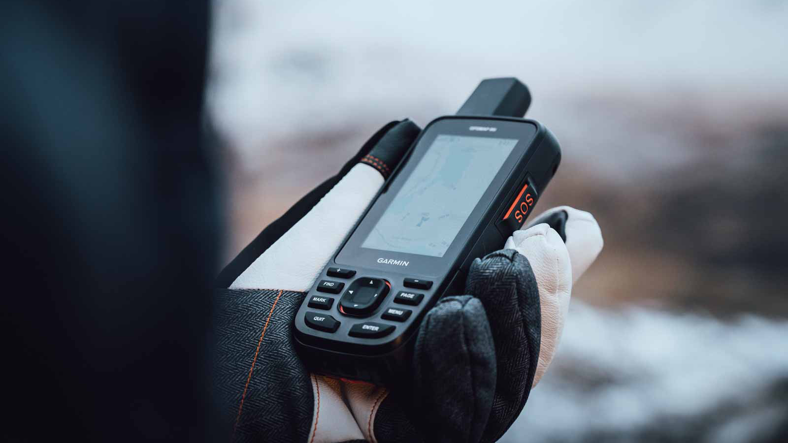
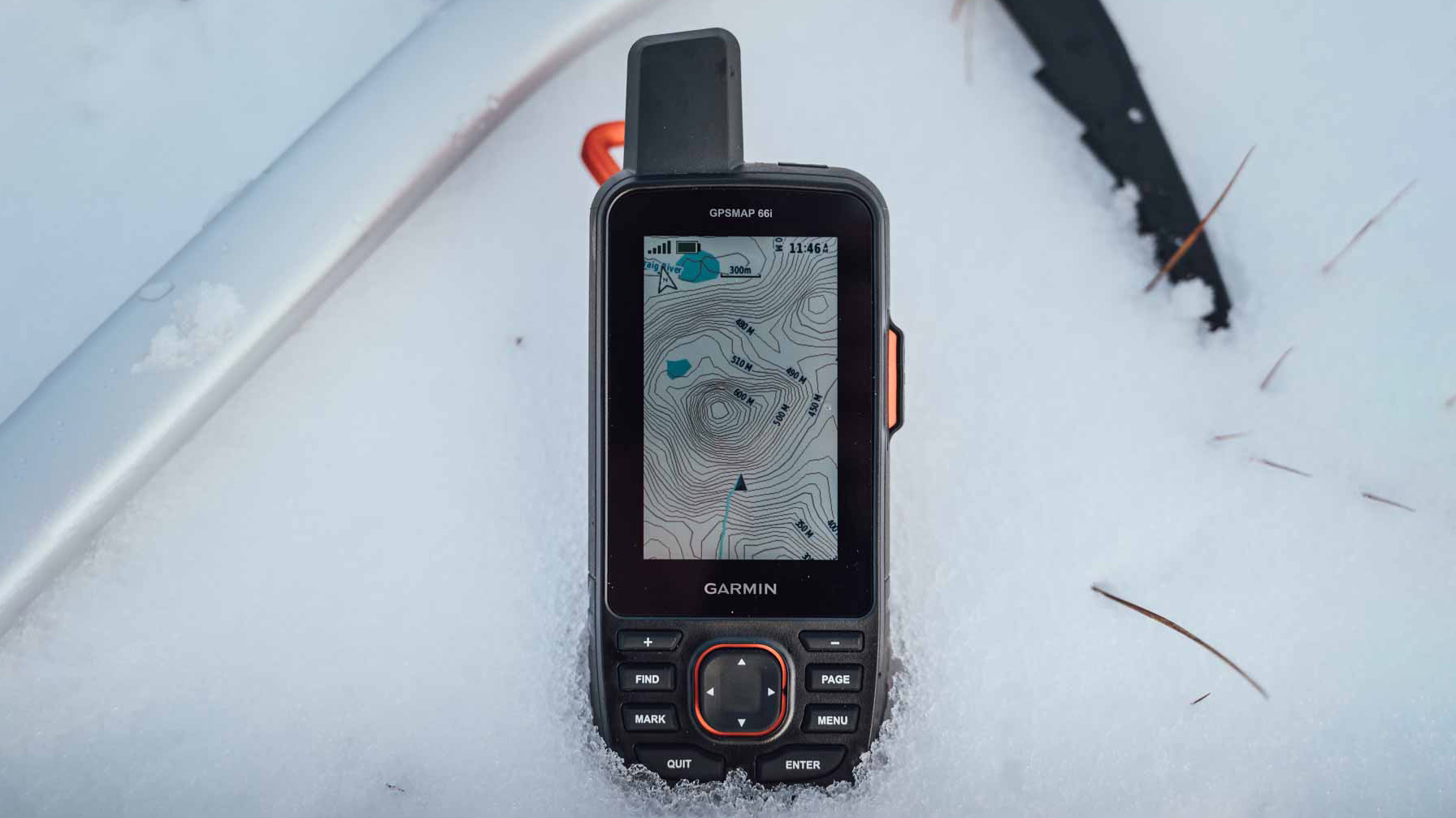
Looking a tad like an old mobile phone from the late 90s, the GPSMAP 66i is a chunky little thing, covered in protective rubber that sees it bounce if dropped off the side of a mountain. Designed to be robust, rather than stylish, it comes with a Carabiner clip for attaching to your bag and/or jacket, as well as an oversized button on the side for SOS purposes.
The rest of the buttons are relegated to below the screen, and there are a fair few of them. These are relatively small, but can still be operated with gloved hands. So long as those gloves aren’t deep-filled Arctic numbers and you are fairly dexterous.
Get all the latest news, reviews, deals and buying guides on gorgeous tech, home and active products from the T3 experts
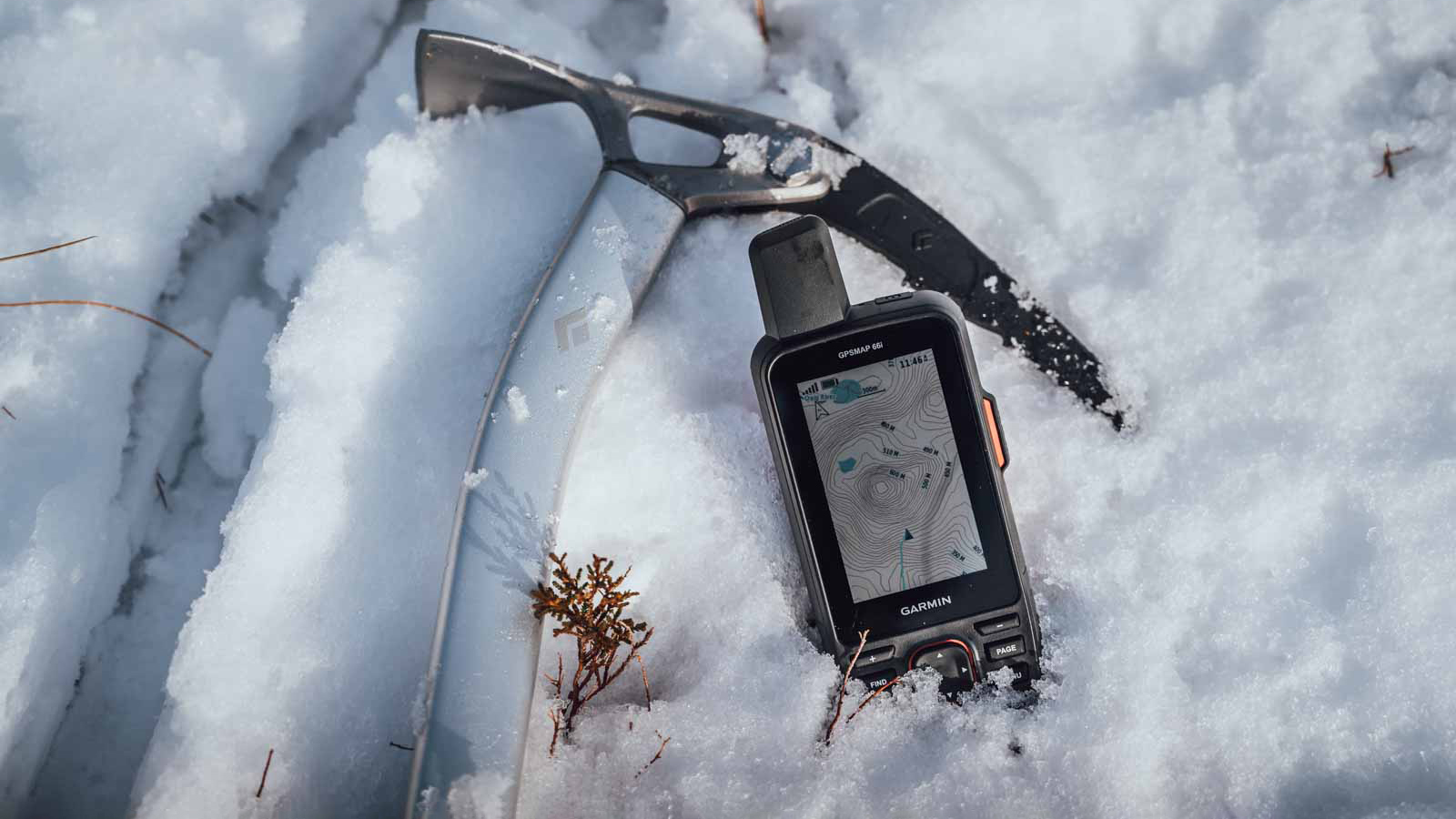
Overall, the build quality is great and as tough as you would expect of something that’s designed to accompany folk on multi-day expedition across the world’s harshest environs.
The screen is bright and easy to read, even in direct sunlight, while we found it to be very resistant to scratches and scrapes.
That said, despite the relatively diminutive dimensions, this still feels like a bulky piece of kit, especially when operating in the lightweight world of hiking or climbing, where every single gram counts.
Garmin also offers the tiny inReach Mini 2 and inReach Messenger if comms is all you are after, while the eTrex SE is one of the smallest GPS handheld devices in the range. Although neither of these does both in one package.

Garmin GPSMAP 66i review: set-up
This is where things get tricky, because the Garmin GPSMAP 66i is not an easy piece of technology to set up. In fact, it can be frustrating and a bit baffling at times, and you will be flicking through the user manual like an adventurer possessed.
Garmin offers European Maps preloaded into Euro models, but it is possible to purchase a plethora of more detailed Topo maps of pretty much every region in the world. These are best downloaded to a desktop or laptop and then loaded onto a microSD card, which fits neatly into the device.
On top of this, you’ll need to download the Garmin Explore app to your smartphone, which is where you can choose to load maps onto the device, sync and share waypoint data, send messages when a compatible phone is in reach and functional, as well as plan trips and create courses.
Anyone used to the Garmin ecosystem, particularly Garmin Connect for smartwatches and cycling computers, will feel fairly at home here. But Garmin Explore certainly isn’t as user-friendly as its more lifestyle-leaning Connect sibling.
Finally, and we feel like we are banging on in this section, you will also have pay to activate an inReach subscription plan, which starts at £14.99 per month without a contract for very basic safety features and quickly escalates to £64.99 for an unlimited service, if you want to communicate via satellite alone.
This is essential if you are thinking of venturing anywhere out of mobile phone signal range, as it allows you to send messages and track waypoints, as well as access live weather when off-grid.
Garmin GPSMAP 66i review: performance
The GPSMAP 66i is a technical piece of kit and the user experience isn’t designed to be as idiot-proof as, say, an Apple iPhone. This is definitely one of those devices where it pays to have the instruction manual handy for the first few days as you get used to it.
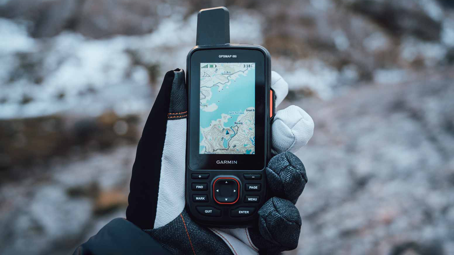
We found navigating the menus via the small buttons quite fiddly and plotting a new route on the device is a slow process - using the D-pad to scroll around a map takes patience and time. That said, you can simply choose a point on the map, hit Go and the device will plot a route for you, but there is a risk you’ll have to trample through hedges and hop fences if you haven’t selected the right routing mode.
Instead, it’s best to plan a route from the comfort of a warm bothy or - better still - at home, and then use the device to occasionally check progress. What’s more, it pays to have knowledge of OS-style maps, or those maps packed with topographical information, as that is what you will be using most of the time.
Garmin makes its topographical maps routable, so you can plot and plan hikes, while the addition of points of interest makes it quite simple, if not the most intuitive, to locate nearby campsites or a place to stop for lunch, if you are close enough to civilisation that is.
In terms of communication functionality, it uses the Iridium satellite network, which theoretically works wherever you are in the world. We got to test this out a bit during our time in the wilds of Snowdon, the peaks of Scotland and in the desolate wilderness of Dartmoor - although there were scant occasions where everyone in the group had zero phone signal.
Sending messages is like using an old Nokia and texts can take a while to send and receive, but then you are beaming them through a satellite that’s busy orbiting the earth.
The same goes for receiving live weather updates, but having that option will be a godsend for anyone exploring remote and potentially dangerous places.
Battery life is fantastic, and Garmin claims it will last 35 hours if you set the device to track waypoints every 10 minutes. You can extend this to a whopping 200 hours by using power-saving features, such as switching off Bluetooth and generally not interacting with the device very much.
We have to admit, we never used the device long enough to even dent that claimed 200-hour max battery life. Even on multi-day trips, where we hiked and camped, we found the Garmin GPSMAP 66i had plenty of juice left when we returned home, so long as we turned it off when not in use.
Garmin GPSMAP 66i review: verdict
If you are planning on charting a course through remotest Patagonia, or slashing through a jungle in Borneo, there is no doubt this device will be critical to mission success. For those with slightly less lofty ambitions, most modern smartphones - and certainly Garmin’s Fenix, Instinct and Marq smartwatch range - also make great companions (with SOS functionality) without the added bulk.
Add the InReach subscription into the mix, and it is a lot to justify for those doing a spot of fell walking at the weekends. But if you are serious about adventure, there is very little else that compares to Garmin’s box of tricks.
Garmin GPSMAP 66i review: alternatives consider
Garmin offers a wide range of much simpler and smaller devices for navigation. There’s the eTrex SE (£149.99/$149.99) and GPSMAP 64x Series (£259.99/$319.99), for example, or you could rely on a smartphone or smartwatch instead.
When it comes to an easy and failsafe satellite communication device, we really rate the simplicity of the Garmin inReach Mini 2 (£349.99/$394.99) or the Motorola Defy Satellite Link (£159/$149.99) - both add peace of mind when exploring off-grid and take up very little pack space.
Leon has been writing about automotive and consumer tech for longer than he cares to divulge. When he’s not testing the latest fitness wearable and action camera, he’s out in a shed fawning over his motorcycles or trying not to kill himself on a mountain bike/surfboard/other extreme thing. He's also a man who knows his tools, and he's provided much of T3's drills coverage over the years, all without injuring himself.
